

Data fusion
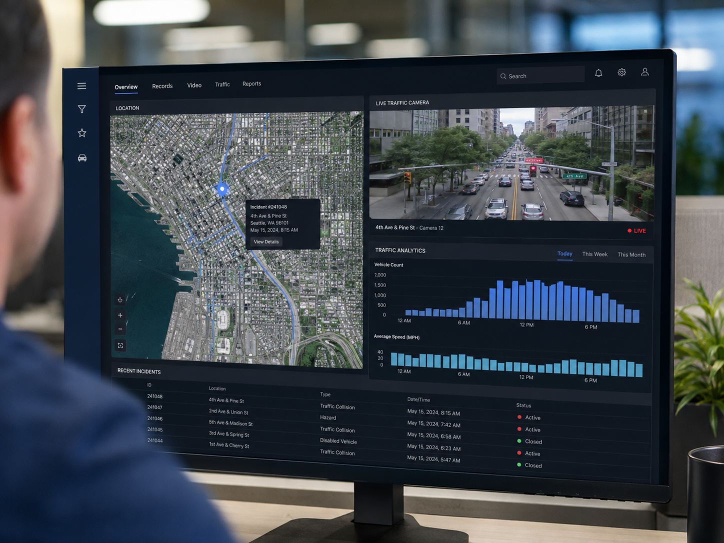
Integrate road safety data across municipal systems
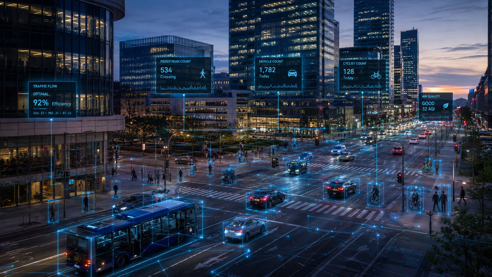
Harmonize crash, roadway, mobility, speed, enforcement, project-history, video-derived indicators, Google Earth AI and other geospatial and contextual data in a canonical spatial-temporal schema.